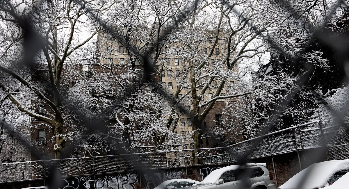
New Yorkers’ chances of seeing snow this week will be much like those of finding a seat on a subway during rush hour: slim, but not impossible.
The temperature will determine if snowflakes are able to develop on Wednesday night into Thursday, according to the National Weather Service — and right now, the forecast calls for the air staying a tad too warm for what would be the city’s first significant snow event of the season.
“For the New York City metro area, and especially along the coast, it’s looking like it’s going to be mainly rain showers,” said Matt Wunsch with NWS. “The Lower Hudson Valley, portions of Southern Connecticut and interior New Jersey may see some snow at least initially, but nothing really significant.”
If snow does materialize, Wunsch said it would be “more showery in nature,” not “widespread or heavy.”
The wintry mix should start as a front passes through from Wednesday night into Thursday, with temperatures warming up into the 40s, according to the current forecast.
Wunsch said temperatures will drop again on Friday as the front moves on, leaving gusty winds of 20 to 25 mph in its wake.
“With that strong wind out of the northwest, highs on Friday will only be in the middle 30s once again,” he said. “So it’ll be pretty chilly.”
Leave a Reply